Alise-Sainte-Reine
| Bundesland | 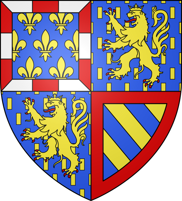 Bourgogne-Franche-Comté Bourgogne-Franche-Comté |
|---|---|
| Departement | Côte-d'Or |
| Postleitzahlen | |
| Präfektur | Dijon |
| Vorwahl | 0380 |
| Fläche | 3,83 km² |
| Einwohner | 564 |
| Bevölkerungsdichte | 147 Einwohner je km² |
| Höhe | 237 m |
| Gemeindeschlüssel | 21008 |
| NUTS-Code | NUTS‑1 FRC · NUTS‑2 FRC1 · NUTS‑3 FRC11 |
| Koordinaten | ♁47° 32′ N, 4° 29′ O |
| Breitengrad | 47.5375 |
| Längengrad | 4.490833 |


Alise-Sainte-Reine liegt im Departement Côte-d'Or in Bourgogne-Franche-Comté. Für den Ort sind aktuell 1 Postleitzahlen und 1 Vorwahlen hinterlegt. Die Einwohnerzahl liegt bei 564 auf einer Fläche von 3,83 km². Die erste Tabelle fasst die wichtigsten Ortsdaten zusammen, darunter folgen Karte, Ortsteile, Nachbarorte und weiterführende Verlinkungen zu Region und Departement.
Alise-Sainte-Reine auf Google Maps
Die Karte zeigt die Position von Alise-Sainte-Reine anhand der hinterlegten Koordinaten.
Regionalstatistik
Einkommen
Arbeitslosenquote
BIP
Beschäftigungsquote
Bevölkerungsdichte
Medianalter
Lebenserwartung
Wanderungssaldo
Akademiker
Tourismus
PKW-Bestand
Immobilienpreise
Mietindex
Bevölkerung
Verfügbares Einkommen je Einwohner
YoY € · +8,02 % · 22.900 €
Quelle: Eurostat
Arbeitslosenquote
YoY % · +21,31 % · 7,4 %
Quelle: Eurostat
BIP je Einwohner
YoY € · +3,86 % · 43.000 €
Quelle: Eurostat
Beschäftigungsquote
YoY % · -2,01 % · 68,4 %
Quelle: Eurostat
Bevölkerungsdichte
YoY Einw./km² · +0,65 % · 62 Einw./km²
Quelle: Eurostat
Medianalter
YoY Jahre · +0,22 % · 45,7 Jahre
Quelle: Eurostat
Lebenserwartung
YoY Jahre · +0,24 % · 82,4 Jahre
Quelle: Eurostat
Wanderungssaldo je 1.000 Einw.
YoY 0,00 % · 3,0
Quelle: Eurostat
Tertiärabschluss (25–64 Jahre)
YoY % · +1,10 % · 36,8 %
Quelle: Eurostat
Gästeübernachtungen
YoY +5,46 % · 3.594.207
Quelle: Eurostat
PKW-Bestand
YoY +0,92 % · 1.805.832
Quelle: Eurostat
Häuserpreisindex
YoY +0,69 % · 127,3
Quelle: Eurostat
Mietindex
YoY +2,32 % · 109,7
Quelle: Eurostat
Einwohnerentwicklung von Alise-Sainte-Reine
YoY -0,70 % · 564
Orte in der Umgebung
Die Tabelle listet benachbarte Orte rund um Alise-Sainte-Reine und zeigt dazu die hinterlegte Entfernung.
| Ort | Entfernung |
|---|---|
| Venarey-les-Laumes | 2 km |
| Grésigny-Sainte-Reine | 3 km |
| Ménétreux-le-Pitois | 3 km |
| Flavigny-sur-Ozerain | 4 km |
| Mussy-la-Fosse | 4 km |
| Pouillenay | 4 km |
| Bussy-le-Grand | 5 km |
| Darcey | 6 km |
| Éringes | 6 km |
| Grignon | 6 km |
| Seigny | 6 km |
| Massingy-lès-Semur | 7 km |
Ortschaften Côte-d'Or
Die Auswahl zeigt größere Orte aus dem räumlichen Umfeld von Alise-Sainte-Reine und erleichtert den direkten Wechsel in benachbarte Ortsseiten.
